

Project Description: The Year of the Polar Vortex
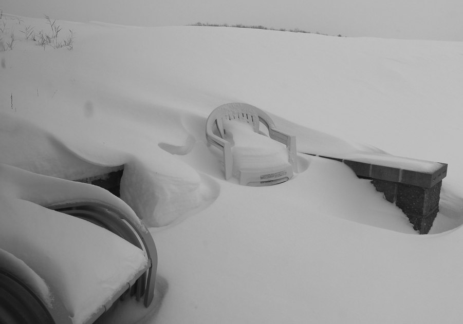
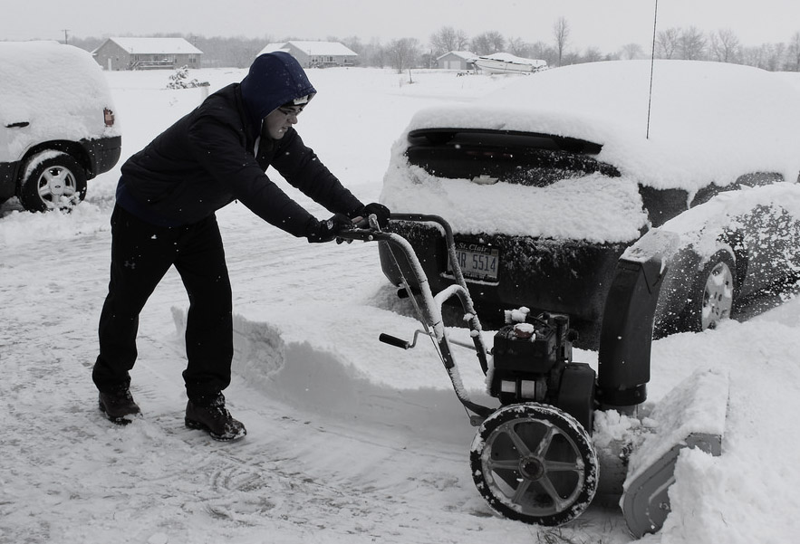
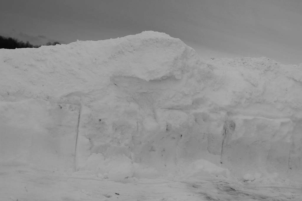
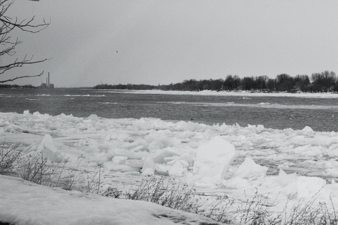
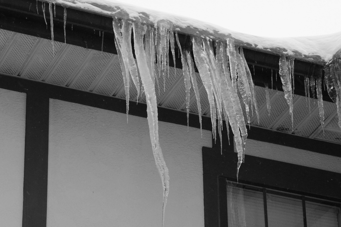
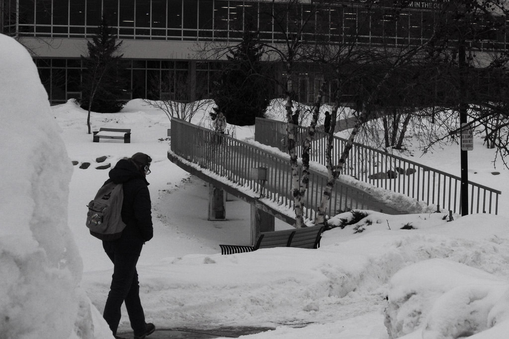
The 2013/2014 winter season was on of the worst winters Southeast Michigan has seen in almost a century. Back in the 1890/1891 winter, the Metro Detroit area saw a total of 93.6 inches of snow for the entire winter season, a record breaking number that hasn't been beaten. The 2013/2014 season saw 91.7 inches fall through March 30, thus putting us in the running to beat the historical record set over a century ago. This year, we currently hold the 2nd worst winter (snowfall wise) in Detroit history.
On Tuesday, April 15th 2014, the Metro Detroit Area saw 3.1 inches of snow fall across the area, breaking the record amount of snow fall, that was originally set in 1890/1891. Thus, making the 2013/2014 winter season the snowiest winter in Metro Detroit history.
We learned a lot of new terms this year, including “Polar Vortex” which we seemed to hear over and over again. A Polar Vortex is a swirling mass of air, that is around all the time but usually found around the poles. Recently, different trends in our typical weather pattern have forced it to come down into territories that don't usually see this cold of temperatures, according to Meteorologist Dave Samuhel of Accuweather.
We also saw record-breaking cold temperatures this winter, associated with the multiple polar vortexes. The average temperature for the Metro Detroit area was 20.6 degrees, the coldest winter we have had since the 1970s.
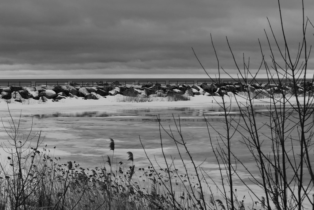
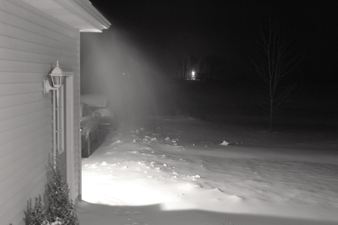
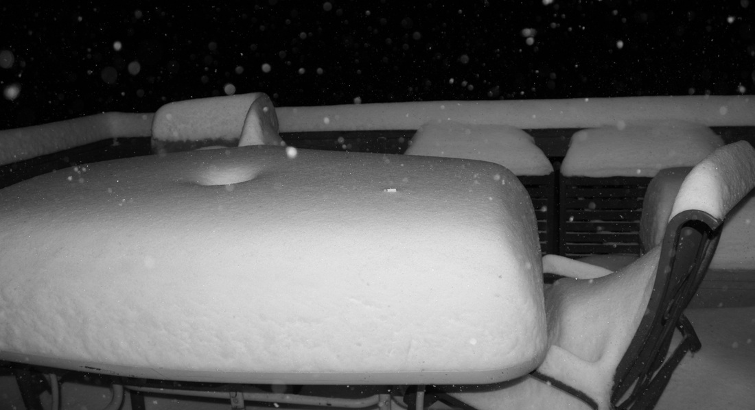
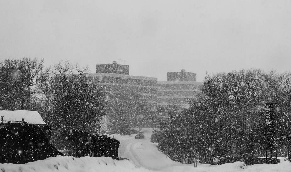
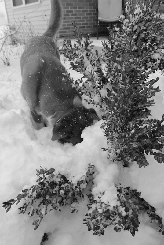
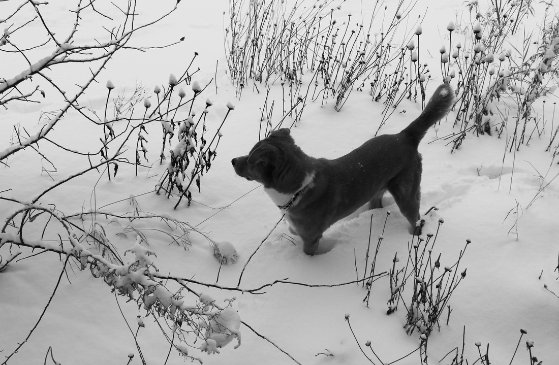
I wanted to emphasize how much snow we saw this year, and how long it stayed on the ground. This winter was a rough one for us, and I think this year stands out from the rest, and we'll remember it for a long time.
The 2013/2014 winter season was on of the worst winters Southeast Michigan has seen in almost a century. Back in the 1890/1891 winter, the Metro Detroit area saw a total of 93.6 inches of snow for the entire winter season, a record breaking number that hasn't been beaten. The 2013/2014 season saw 91.7 inches fall through March 30, thus putting us in the running to beat the historical record set over a century ago. This year, we currently hold the 2nd worst winter (snowfall wise) in Detroit history.
On Tuesday, April 15th 2014, the Metro Detroit Area saw 3.1 inches of snow fall across the area, breaking the record amount of snow fall, that was originally set in 1890/1891. Thus, making the 2013/2014 winter season the snowiest winter in Metro Detroit history.
We learned a lot of new terms this year, including “Polar Vortex” which we seemed to hear over and over again. A Polar Vortex is a swirling mass of air, that is around all the time but usually found around the poles. Recently, different trends in our typical weather pattern have forced it to come down into territories that don't usually see this cold of temperatures, according to Meteorologist Dave Samuhel of Accuweather.
We also saw record-breaking cold temperatures this winter, associated with the multiple polar vortexes. The average temperature for the Metro Detroit area was 20.6 degrees, the coldest winter we have had since the 1970s.
I wanted to emphasize how much snow we saw this year, and how long it stayed on the ground. This winter was a rough one for us, and I think this year stands out from the rest, and we'll remember it for a long time.
